
What’s new
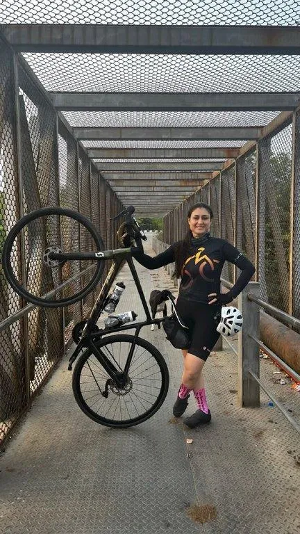
Narsingi Cycle track entry point, Hyderabad City
Challenge Starting from 01st Sep and ends on 04th Jan 2026
Days
Hours
Minutes
Seconds
Registration opens on 17th Aug 2025
CONTACT US
What’s new
Days
Hours
Minutes
Seconds
CONTACT US
Contact Us
Section Header
Section Header
Control Points
Section Header
Welcome to
The HORR LOOP Challenge route is one of the most popular outer ring roads in India, and it is the second-largest outer ring road loop in the country.
Riders enjoy the scenic service road, surrounded by beautiful greenery along the HORR LOOP.
This route spans 170 kilometers around the Hyderabad Outer Ring Road, starting at the Narsingi Solar Cycle Track entry point and passing through locations such as Kokapet, Kollur, Patancheru, Sultanpur, Dindigul/Saragudem, Medchal, Shamirpet, Keesara, Ghatkesar, Taramatipet, Pedda Amberpet, Bonguluru, Raviryal, Tukkuguda, Pedda Golconda, Shamshabad, Rajendra Nagar, TSPA, and Nanakramguda.
The top riders complete the route in just under seven hours, but it is common for average riders to take nine hours or more.
The route is not particularly challenging; according to rider feedback, it is considered a moderate one-day ride.
The total elevation gain is 750 meters, with the highest point at 630 meters and the lowest at 440 meters.
Please find the route GPX file and strictly follow the navigation